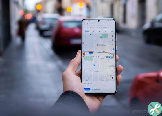
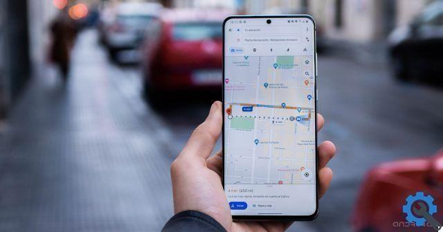
Google Maps has a function entirely dedicated to informing users about the progress of the coronavirus.
With the trick that we explain to you in this article, you will be able to learn how activate the "coronavirus mode" of Google Maps and thus plan your trips in a safer way.
This is Google's intention by integrating this tool, so that users can make decisions about where to go and what to do knowing the current COVID-19 situation in the area they travel to.
Ma there is more about the "coronavirus mode" of Google Maps, and we explain it below along with the steps to activate it.
The "coronavirus mode" of Google Maps provides information on the cases of each area
How to activate the "coronavirus mode" of Google Maps
Google reported on its blog the arrival of new data on Google Maps focused on the coronavirus.
Specifically, this is the COVID-19 layer, a function that adds information on coronavirus cases registered in each area to the map.
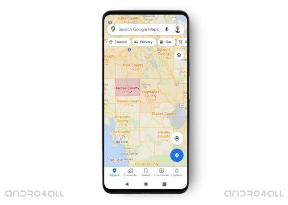
The information in question is an average of new cases of COVID-19 per 100.000 inhabitants registered in the place in the last seven days.
The number is accompanied by an upward, downward or rightward date that reflects whether the trend in the region is positive, negative or stable.
In addition, the user can also know the density of cases in an area through color coding.
If the area appears in red, it is clear that you are going through a difficult situation and that it is not advisable to visit it.
Google has announced that this feature will be available for 220 countries in which Google Maps is already present, even if its arrival will be progressive.
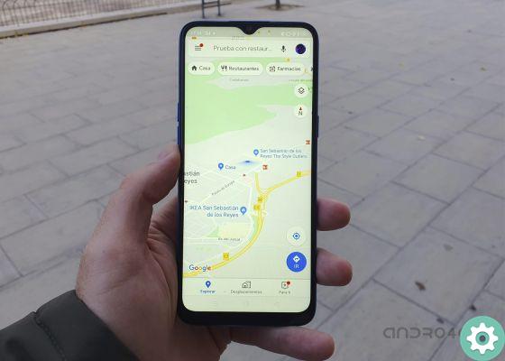
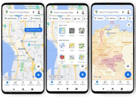
When the COVID-19 level is available in your country, you can activate Google Maps coronavirus mode with these steps:
- Apri Google Maps.
- Click layers icon in the upper right corner.
- In the window that appears, click on the "COVID-19 Information" option. As you do this, a new layer will be added to the map to show you the average number of new cases per 100.000 population, as well as the trend and color code for each area.
So you can activate the "coronavirus mode" of Google Maps
The data, which will be available at the state, provincial and municipal level, come from various authorized sources of information selected by Google.
Some of these are there Johns Hopkins University, il New York Times and Wikipedia, which in turn obtain data by the World Health Organization, government health ministries and regional and local health agencies.
These data, which already appeared during the Google search, will now be reflected in Google Maps to offer another way of information to users.
From Google they know that traveling at this time is very complicated, which is why they launched this feature, to facilitate safe decision making when traveling.
The COVID level begins its own integration into Android and iOS devices in Worldwide. The rest of the task, getting the most out of this feature, is already in the hands of the users.